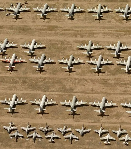


The other day I shared some satellite images from Google Maps of an aircraft dumping ground near Arizona in US.
If that set of images left you impressed, Scott Stevens suggests that you re-visit the same location but using Bing Maps. (If this link doesn’t work, please switch to the US edition of Bing first.)
The images on Bing are captured at an effective distance of 20 feet from the ground and hence the level of detail is so amazing compared to Google Maps where the distance was 50 feet.
If you want to see a more high-resolution satellite image, check this secret spot from a village in South Africa capture on Google Maps – here the effective ground distance is only 5 feet or 2 meters. Awesome!


