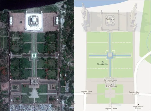
If you are inside Google Earth or switch to the Satellite View in Google Maps, you can see aerial images of your home and most other places of our planet.
These images are updated every few years (or months depending on the area) and Google, in the long term, is very likely to switch to high-resolution imagery for most countries and regions. Now that Apple has joined the Maps business, providing high-quality imagery will be an even higher priority item for Google.
Email Alerts for Google Maps & Earth
If you would like to know when Google Maps (and Google Earth) is updated with new satellite and aerial images of your area, or any other point of interest, they have built a new alert system called Follow Your World that should keep you in the loop.
To get started, sign-in using your Google Account and mark one or more areas of interest. You can do so by either clicking the points in Google Maps or enter the latitude and longitude manually.
That’s it. Google will monitor these locations and will send you email alerts as soon as updated satellite and aerial imagery data is available for these areas in Google Maps and Google Earth.


